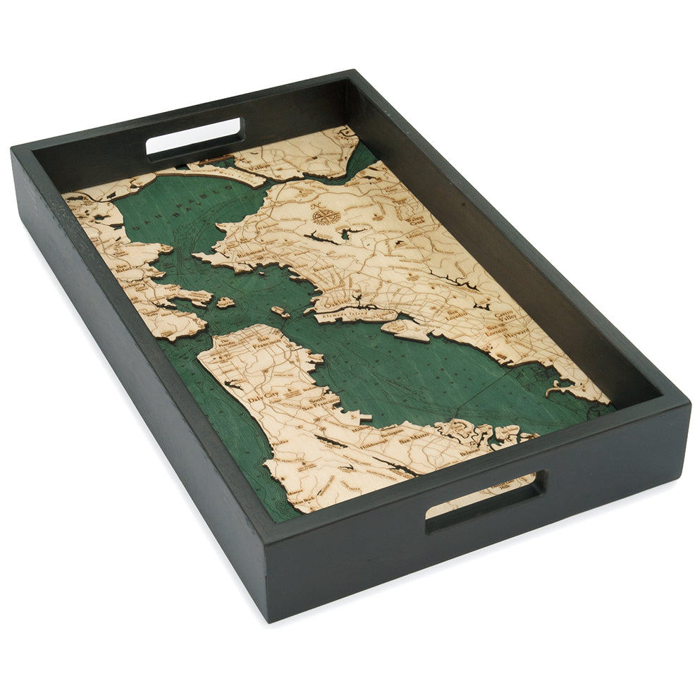
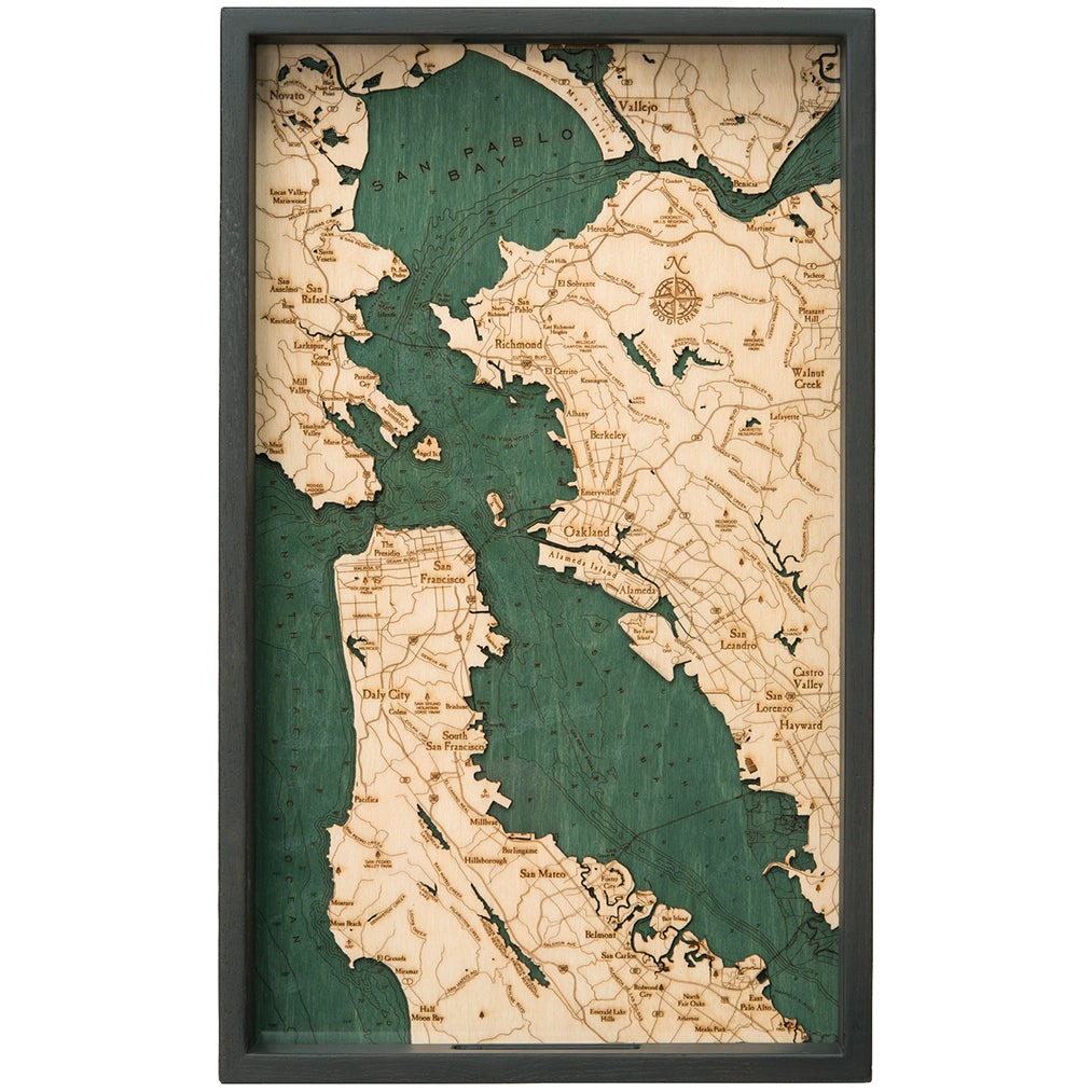
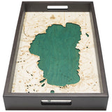
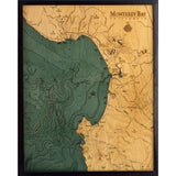
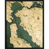
Size: 20" wide by 13" across
A smaller, simpler, more "giftable" version of our popular San Francisco Bay wood chart.
Construction:
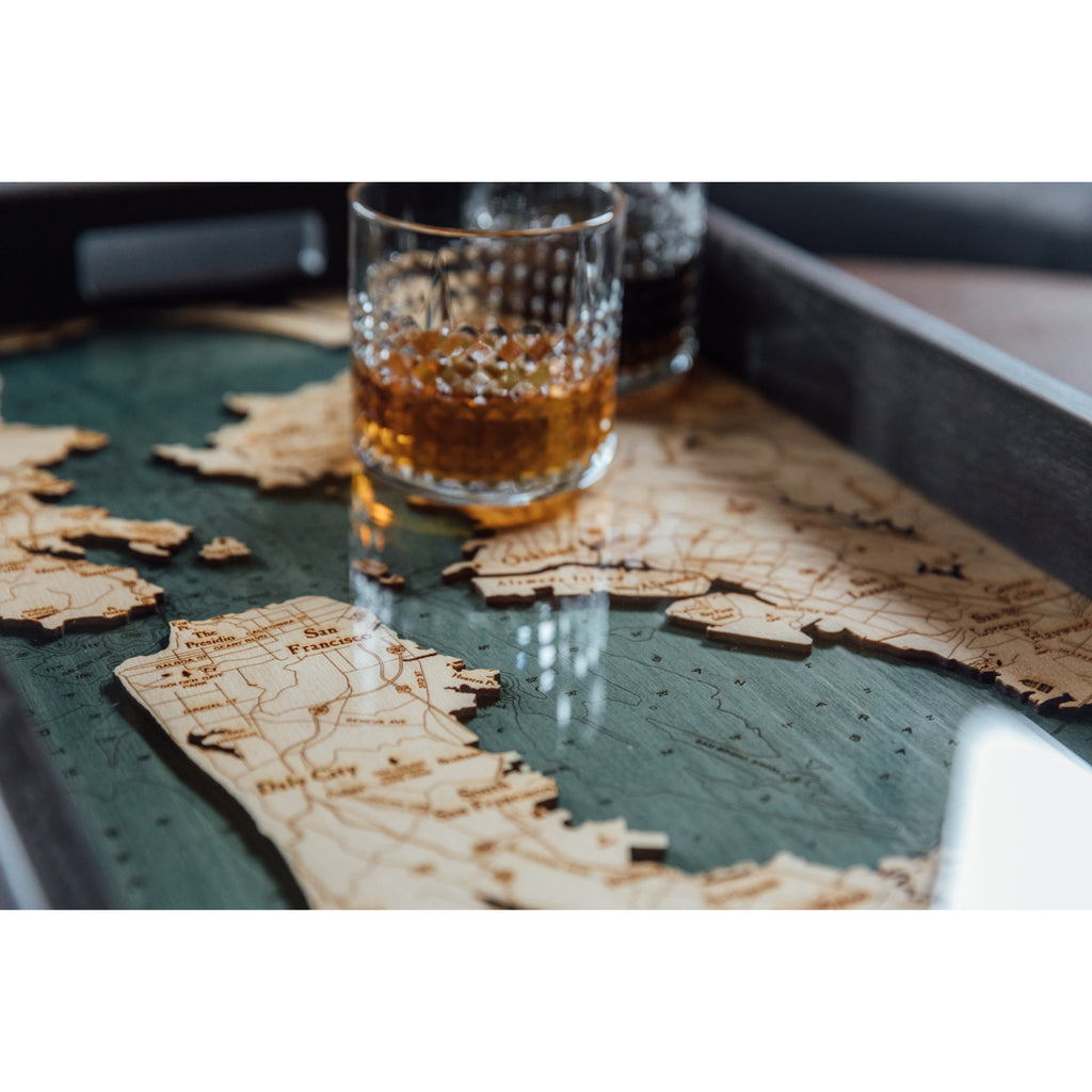
- Two layers of Baltic Birch wood, etchings show lines of relief
- Chart is sealed under a layer of protective acrylic glass
- Handles on both sides make it easy to carry
Locale: California
A shallow, productive estuary, San Francisco Bay connects the Sacramento and San Joaquin rivers with the Pacific Ocean. Gathering the rainfall and snowmelt from an enormous watershed, these outflows drain approximately 40% of California into the bay, which then flows out (under the Golden Gate Bridge) into the Pacific Ocean. It's the largest Pacific estuary in the Americas and, despite significant mining- and construction-related damage over the past century, it remains a rich part of the coast's ecosystem.
During the last ice age, the basin was actually above sea-level. It was a large valley, filled with small hills similar to those found along the coast of California today. When the sheets of ice melted, the sea level rose approximately 300 feet, filled the valley, turned it into a bay, and the small hills became islands.
It was designed in the United States, crafted overseas, and imported


