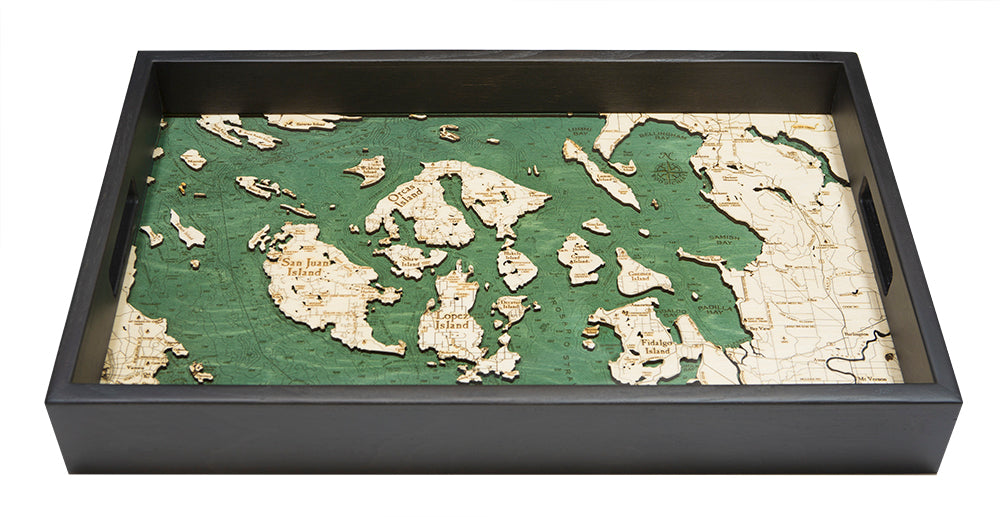
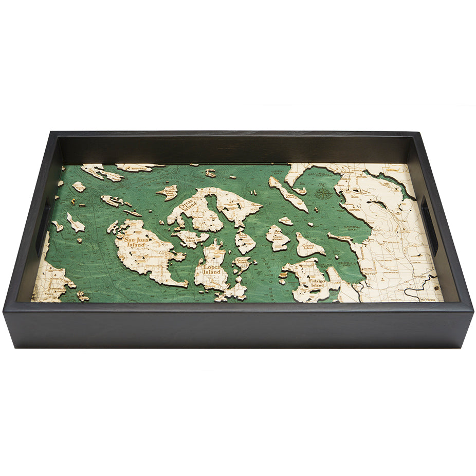
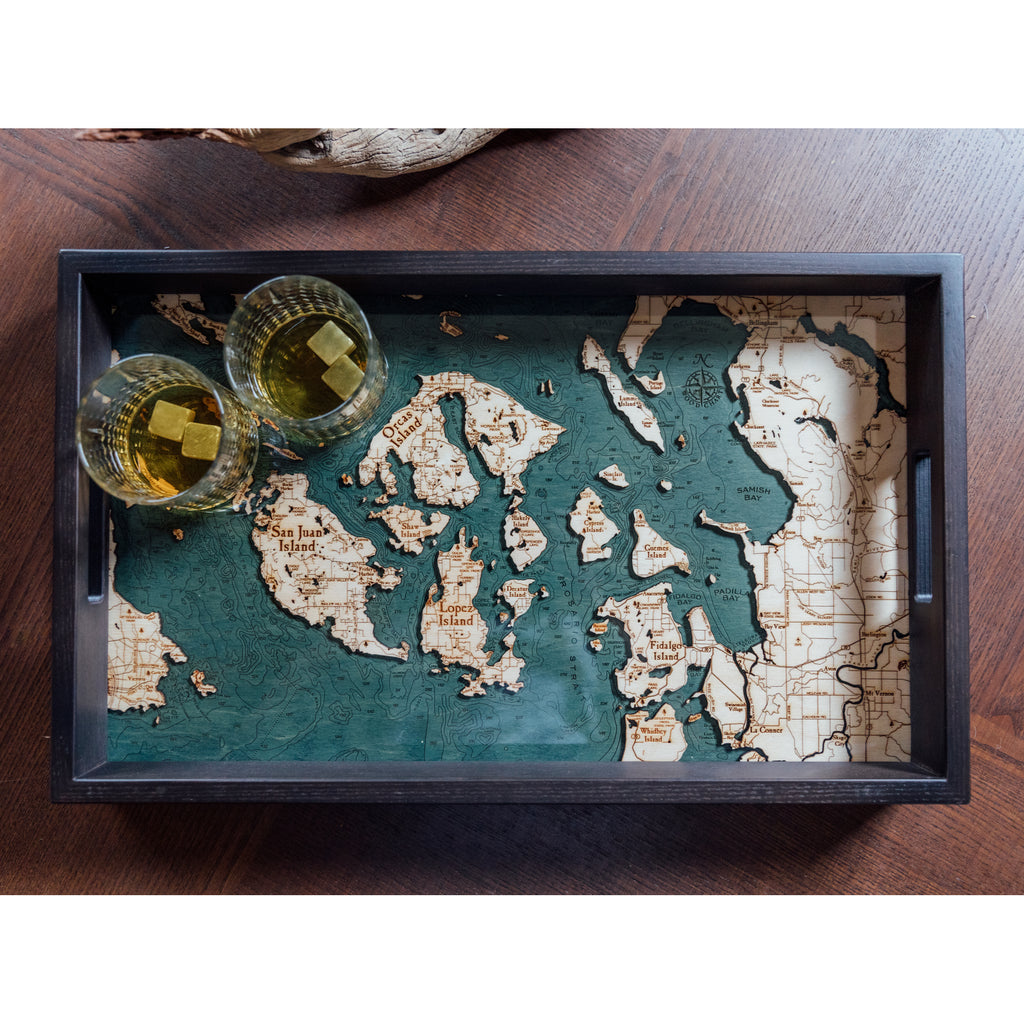
Size: 20" wide by 13" across
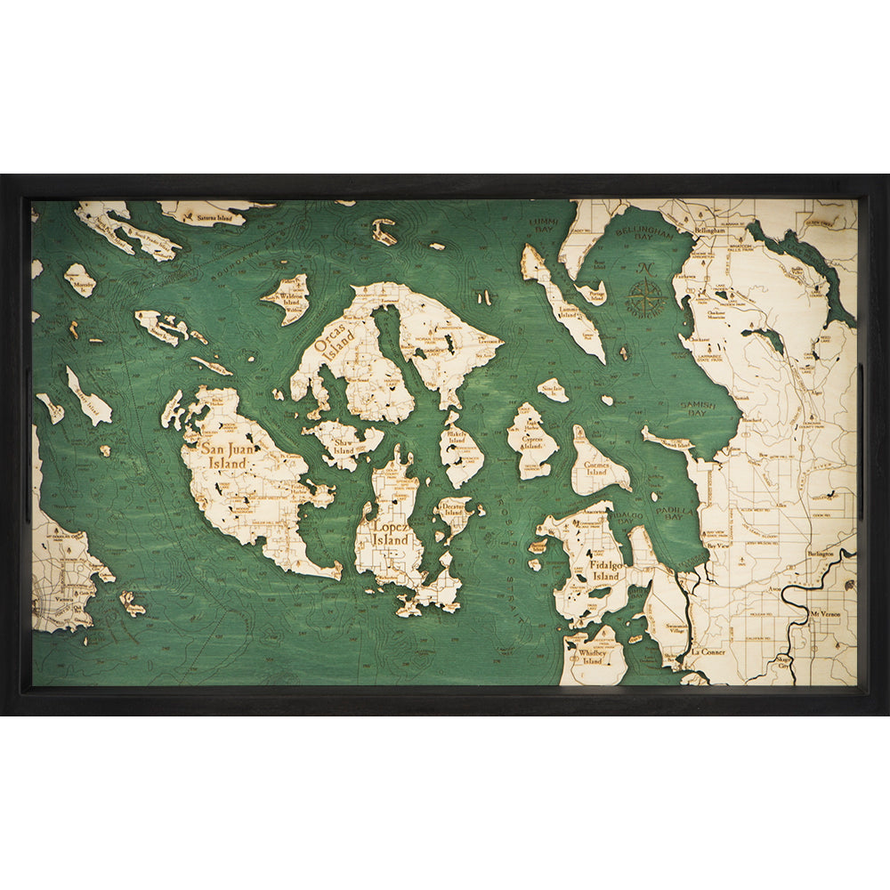
A smaller, simpler, more "giftable" version of our popular San Juan Islands Chart.
Construction:
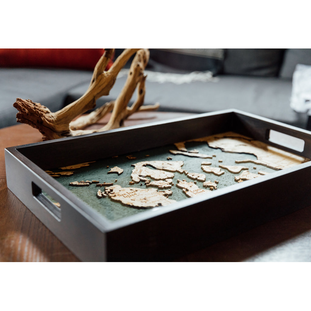
- Two layers of Baltic Birch wood, etchings show lines of relief
- Chart is sealed under a layer of protective acrylic glass
- Handles on both sides make it easy to carry
Locale: Washington & British Columbia
The San Juan Islands are the pinnacles of a submerged mountain range that connects Vancouver Island with the mainland. They're a tidal-gateway between the open ocean and the Gulf of Georgia to the north. Because of this, heavy tide-rips are common in many of the island's inner channels. If it weren't for the interference caused by these tide-rips, the islands exposed shorelines would suffer from significant erosion during winter storms. Instead, erosion is most dramatic only during slack tide and high-water wave-cuts are visible on many of the islands exposed shorelines.
It was designed in the United States, crafted overseas, and imported
Points of Interest: Roche Harbor, Friday Harbor, Deer Harbor, Orcas Island, Lopez Island, Anacortes, Fidalgo Island, Lummi Island, Bellingham Bay, and more!


